FireInSite is a fire behaviour prediction system in the form of a web-based application that forecasts the probability of ignition, surface fire rate of spread, flame length and fireline intensity for a user selected location for a set of core UK fire prone vegetation types (fuels).
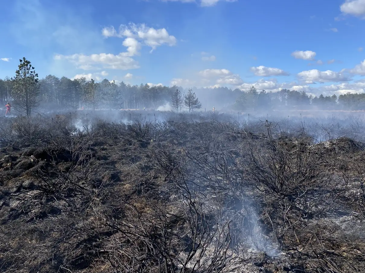
FireInSite is a point-based system that calculates fire behaviour at a user-selected location on a map (or point) for a range of possible fuel types treating each as a homogeneous unit. It uses weather forecasts, linked to numeric fuel descriptors (fuel models) and calculates the potential probability of ignition, rate of surface fire spread, flame length, fireline intensity as well as allowing the user to explore variability in dead fuel moisture over a range of forecast days. It also allows the user to explore past fire behaviour by using historical weather records back to 1970.
Key features
- Predicts fire behaviour for a selected location in the UK.
- Predictions for most common UK vegetation fuels.
- Seamless integration of weather forecasts up-to 5 days ahead.
- Fire spread rate, flame length, ignition probability, and fuel moisture.
- Choose between the integrated FireInSite, Fosberg or SimpleFFMC (Nelson) fine dead fuel moisture models.
- Easy-to-use web application
FireInSite is built on over four years of intensive data collection of fuel moistures, vegetation flammability and energy contents taken from across the UK in characteristic fuels and these have been used to develop fuel models that describe the fire prone fuel types of the UK landscape for the first time. No other fire behaviour prediction system contains fuel models that have been specifically designed and tailored to UK vegetation and are ready inbuilt for use in the system.
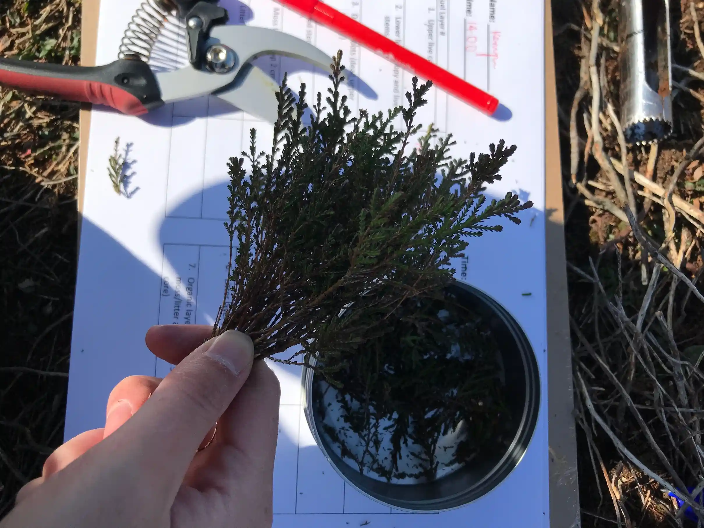
FireInSite integrates terrain information from Mapbox digital elevation dataset and weather data by Open-Meteo.com with BehavePlus fire behaviour model to provide a seamless user experience. The system has built-in fuel models representative of dominant UK surface fuels and calculates dead fuel moisture content using machine learning model trained on the largest field-based UK fuel moisture dataset.
The system can be used to:
- Assess the risk of fire in a particular area
- Plan for fire prevention and suppression
- Assess the potential effects of fuel load reduction.
- Educate the public about fire behaviour
To find out how to use FireInsite please visit tutorial page.
FireInSite is an open access tool and we welcome collaboration. The science behind it is published: the fuel moisture data and the UK fuel models derived from it are available from their own sources, on their own terms. The FireInSite system itself — the application and the models as integrated and calibrated within it — is not currently available for commercial use without our prior written permission, and the FireInSite™ name and logo should not be used in a way that suggests endorsement or affiliation. Please see open access, collaboration and use for the full statement, or to discuss a particular use with us.